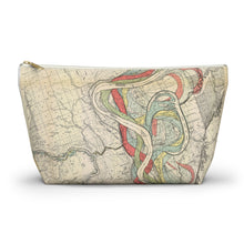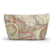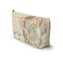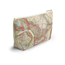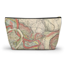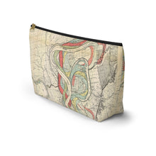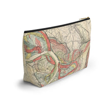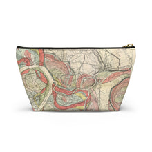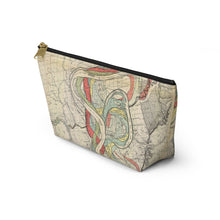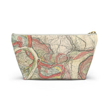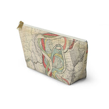
Discover the Ancient Courses Mississippi River Meander Belt, a collection of maps meticulously crafted by renowned cartographer and geologist Harold Fisk for the U.S. Army Corps of Engineers. These maps vividly depict the historical courses of the Mississippi River from Cape Girardeau, MO to Donaldsonville, LA, spanning millennia of evolution. Each plate captures the intricate paths and channels the river has carved over time, offering a deep insight into the geological history of the region.
Originally part of Fisk’s seminal 1944 report, Geological Investigation of the Alluvial Valley of the Lower Mississippi River, these maps stem from extensive data collected through over 16,000 borings. These studies aimed to unravel the formation of the valley and understand the river’s dynamic flow and flooding patterns. Fisk’s maps not only present geographic data but also reflect the river’s essence—their earth-toned palette echoing the river’s constant transformation and rhythmic influence on the landscape.
Our T-bottom pouches, available in various sizes, are adorned with these historic maps. Crafted from durable 100% polyester with a non-woven laminate interior and a secure zipper closure, these versatile pouches serve as ideal companions for organizing essentials like pencils, cosmetics, or travel accessories. Designed and assembled in the USA with global materials, each pouch combines functionality with a unique glimpse into the Mississippi River’s enduring story.
.: 100% Polyester .: With non-woven laminate inside .: Multiple sizes available .: Assembled in the USA from globally sourced parts .: Size tolerance 0.375" (0.9 cm) .: Note: Designs with intricate details may affect print clarity due to the printing technology used.


